By Chloé Margulis
Staff Writer
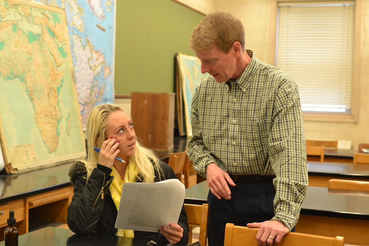
Patrick Kennelly is a full time professor who teaches the traditional Earth Science courses and GIS (Geographic Information System) in the master’s program in Environmental Sustainability. Kennelly is the co-director and online instructor in LIU’s Online Mobile GIS App Development Certificate Program.
When Kennelly is not teaching, he is the editor of the journal Cartographic Perspectives, and is on the editorial board of The Journal of Maps and The Cartographic Journal. He has also published his research in cartography in numerous other publications.
Tell us a little more about GIS.
GIS stands for Geographic Information Systems. It is basically the computerization of mapping and how to make maps using digital data. The class I teach for graduate students is called “Mapping Environmental Data with GIS”. People in the Environmental Sustainability program take this class as one of the requirements to learn the technology needed to map environmental issues and environmental sustainability.
What is an example of a project a student has done using GIS?
One example is research done by Carole Ryder, a former student, mapping remnants of the Hempstead Plains, one of the few natural prairies east of the Allegheny Mountains. She used GIS technology and satellite imagery to see where there were small bits of vegetation left over from before the settlement of Long Island. Her research results were written up in “Newsday.”
What have you done with your knowledge in GIS?
With GIS, one focus of my research is on how to represent mountainous terrain so that it looks three dimensional on maps. I have published a lot of articles on this as well, in several different journals. Some of my research is about taking old historical techniques and figuring out how to computer automate them.
What was one of your favorite projects with students?
One of my favorite projects with students and GIS was mapping the Wifi signal strength around campus. Kiichi Takeuchi in IT developed an application which we used to measure the strength. The students collected thousands of readings around campus with iPads and created hotspot maps. Students were able to do everything from collecting data and analyzing the data to develop heat maps; heat maps show where something is weaker or stronger.
What did you do before becoming a full time professor at LIU?
Before working at LIU Post, I worked for Montana’s geological survey and was responsible for all geologic mapping in the state. I was in charge of the survey’s GIS lab and managed the collected data in the GIS. Before that, I worked for an environmental and engineering consulting firm in Portland, Ore., as a GIS project manager.
What experience have you had with cartography journals?
I am the editor of Cartographic Perspectives and on the editorial board for some other journals. I am very involved in the society NACIS, and first I was asked to review other people’s articles. From there, I was asked to become the editor.
Why do you think it’s important that people study cartography and earth science?
I think it’s important because as quantitative thinking and critical thinking are important, spatial thinking is equally important. Cartography used to be a field used only by experts to make maps. Now people from all different fields are able to make exciting, interesting maps about many different things.
Growing up, did you always know you wanted to go into this field?
I always loved the lay of the land, topography, so it doesn’t surprise me that I ended up in this field. I also have a background in geology and I like to explore rugged areas and look at rocks.
What is your favorite map?
My favorite map is from an early exploration of Western America, an early mapping effort of the area around the Grand Canyon. It was made in 1858, titled “Rio Colorado of the West.” If anyone wants to see an original copy, you are welcome to stop by my office in Pell Hall!
In your opinion, what makes a map beautiful?
I think a good map makes you stop and think. It lets you see an area in a way that you haven’t really thought of before.
If you could map anything in the world, what would it be?
I would just want to map mountains. Even in my academic research, I always pick a place where I have been and map it. I have made maps of the Grand Canyon, Mount Hood, and Mount Rainier. I would visit it to get an impression of the place, and use data from the internet to make the maps using GIS software.
I use my maps solely for academic research. I like to look at methods to reproduce historical methods of mapping. For example, one map I made was more of an example of using artistic technique, rather than cartographic technique, using cross hatching to map mountainous areas. It was even selected to be in a cartographic exhibit at the Harvard School of Design!


Be First to Comment